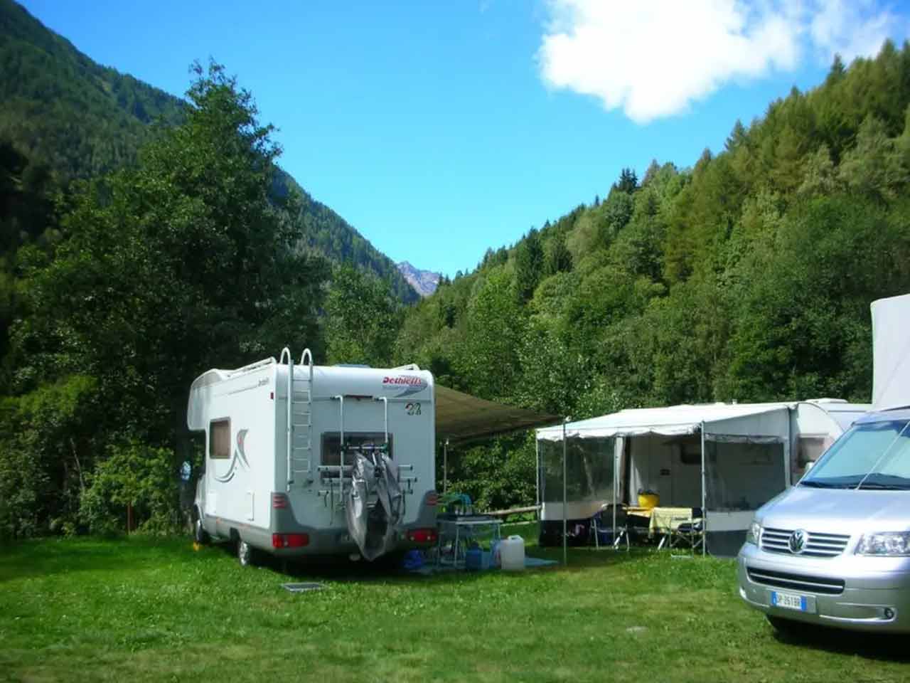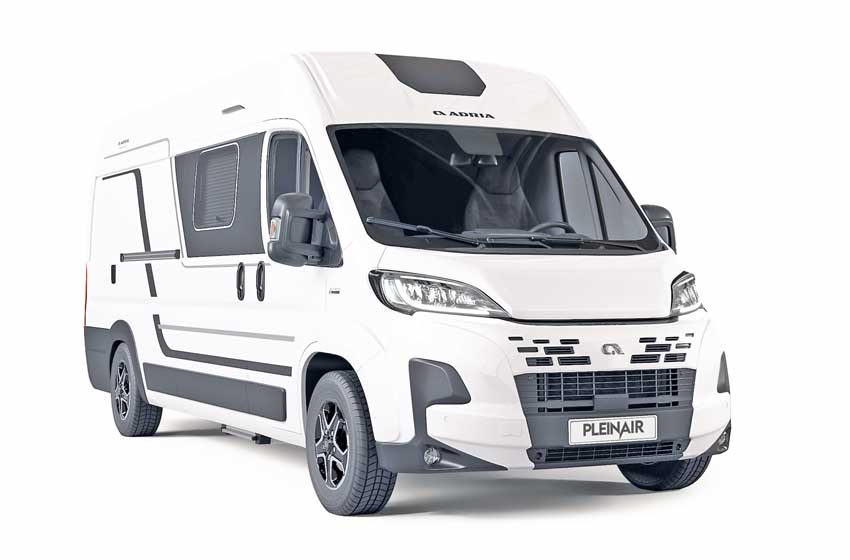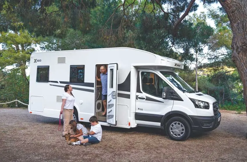


To visit the Marmolada in a camper, please note in your diary for i summer months and take it with you membership card PLEINAIRCLUB which gives you the right to discounts in affiliated facilities in the province of Belluno.
The Marmolada glacier
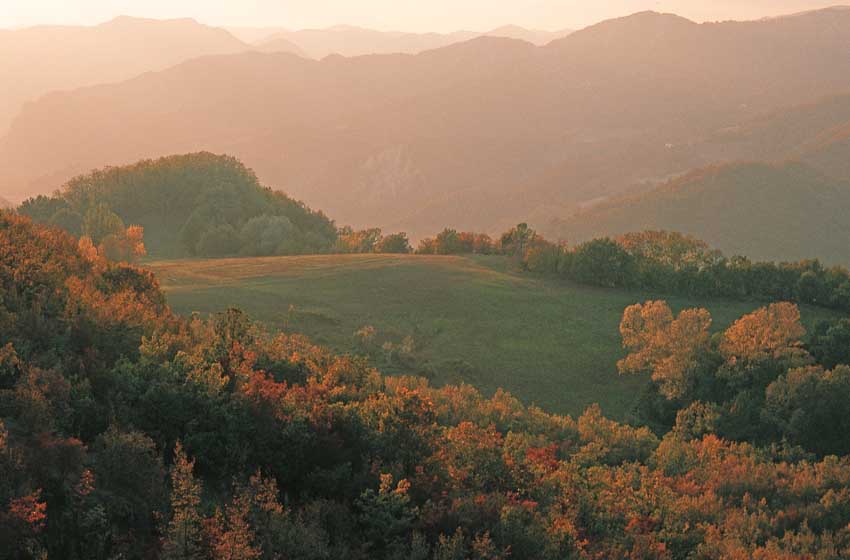
A white massif of snow and tongues of ice sparkles even in the height of summer and stands alone on the green valleys at its feet, surrounded by steep sheer walls and overlooking the Sella and Sasso Lungo mountain ranges like a diamond emerging from a diadem of precious stones.
La Marmolada it is the magical place that gave life to the legend of King Ombro and the beautiful Ombretta, hidden in an alabaster castle beyond the narrow canyon of the Serrai di Sottoguda. A strategic and difficult place, which during the First World War the Italian Alpini and the Austro-Hungarian Kaiserjäger they competed with each other through heroic climbs to the peaks, hard survival in the trenches at more than 3.000 meters above sea level, tunnels dug in the snow of Eisstadt (the city of ice), of via ferratas made with metal ladders, suspension bridges and a few nails on the walls.

The Marmolada glacier is sour e wild yet, at the same time, very accessible. Not only thanks to the cable car that reaches Malga Ciapela Punta Rocca, but also with a traditional ascent on foot. Starting from the Trentino side and following a roped guide, any trained hiker can travel theancient via ferrata which follows the route drawn during the Great War. An ideal place to approach ice axes and crampons for the first time: eight hours of trekking among stairs, screes, dolomite pinnacles and snowy ridges. Challenging but never extreme, and very satisfying arriving at the 3.343 meter summit.

The itinerary on the Marmolada massif
The Venetian side of the Marmolada glacier can be ascended with the lifts from Malga Ciapela, which since June 2015 have been enriched in the intermediate station by Great War Museum, the highest in Europe being located at 3.000 meters above sea level. In the new exhibition, fascinating reconstructions tell the daily life, suffering and heroism of life in the trenches of both sides that faced each other on these peaks.

From Forcella Serauta to Malga Ciapela
From the station Serauta Fork (2.950 m) a scree on the right leads to equipped path of the Sacred Zone: the Italian positions and barracks on the summit are visible with a short and easy via ferrata equipped with safety cables but without rungs and climbing sections; the use of the harness and longe, mandatory according to the official signage, is only useful for the crest stretch of a few hundred metres, horizontal but very exposed, while it is not essential for the rest of the route but recommended for those without experience and sure footing.
In less than two hours, with short ups and downs on rock protected by cables or on short metal ladders, you explore the ancient position and reach the limit of the overhang above Malga Ciapela, arrival of the long and tiring Eternal Ferrata (for experienced and trained mountaineers). The cable car ascent proceeds with a second stretch up to Punta Rocca (3.250 m), from which you can enjoy a 360 degree panorama of all the Dolomite peaks.

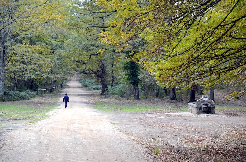
Also from Malga Ciapela, south of the large car park, the comfortable route begins in the Serrai di Sottoguda Nature Reserve (3 euros on foot, 5 with the train). Follow the ancient road, descending in about thirty minutes to the picturesque village known for its artisanal and artistic workmanship of wood and wrought iron.
The refuges
With the bends of the old road in the woods you reach the Pettorina stream, which always runs along the track between the water features and the small waterfalls which in winter are a vertical paradise for lovers ofice climbing. The uphill route can be traveled both with bicycles (not downhill) and with the electric train; the only accessible parking is 500 meters from the town, in Pian.

The path to the Falier refuge (n. 610), which runs along the southern face of the Marmolada along the Ombretta Valley. After the beautiful campsite and the picturesque Malga Miola (excellent cured meats and cheeses obtained from the milk of wild grazing cows) you climb for about forty-five minutes along the old road, then a narrower mule track, to gain altitude with steep hairpin bends until you open up into a great view. Arrived at Malga Ombretta (still eco-sustainable local products) we recommend staying halfway up the hill following the path on the meadow, leaving out the descent.
In about an hour you arrive at Falier refuge, enchanting under the spectacular wall of the Marmolada: following the signs for Malga Ciapela, continue the ring halfway up the mountain towards the two waterfalls of the stream, beyond which path no. 612 steep climbs (400 meters of difference in altitude) to reach the Prati dell'Ombretta. Another 400 tiring meters on a scree separate from Pas de L'Ombretola (2.864 m), one of the highest points reachable with a non-mountaineering itinerary, which gives access to the Sasso Vernale (3.058 m, the highest peak of the southern block).

Up to Punta Penia
From the Trentino side you instead climb to the Marmolada glacier and, with the via via ferrata, at the summit of the massif, Punta Penia. After Passo Fedaia and the lake of the same name on the beautiful road n. 641 for Canazei, you reach the large dirt car park of the Marmolada chairlift (2.074 m), which can also be used for overnight parking. So you go up to Pian dei Fiacconi (2.626 m) with the picturesque open cableway. Upon arrival, a path on the right, following stone cairns that are not always visible, descends for about 200 meters to go around a pinnacle. You then start to climb, on snow and gravel, up to the wall of the Sforcella Marmolada.

Here the via ferrata begins and you immediately put on your helmet: ancient iron stairs and old holds, in some cases still those of the World War I (news confirmed by the guides and operators of the Alpine Rescue), follow the ancient route which is very different from the athletic and sporting via ferratas of today. After a very easy first stretch up to the fork, on supported ladders, a second harder part starts up to the sheer crest of the Ombretta Valley. This stretch is also within the reach of a good trained hiker, never completely vertical and without difficult climbing, with always abundant natural or artificial holds. You then walk untied for a short distance until you find the cables, which may be covered in snow.
It is the only exposed segment of the route, where you walk inside the snow tracks, which requires crampons in case of ice and ice. You then start climbing again on the steepest stretch of the entire via ferrata, always on metal stairs, with crests that ensure beautiful views, up to the last stone saddle. Only thirty minutes on snow separate from Punta Penia (3.343 m): although the climb is easier here, being at a high altitude and more than three hours from the start, it can be quite tiring.
Behind the summit cross the descent begins towards the lifts and the glacier; with a final downhill via ferrata you reach the glacier and - on medium soft snow - you go straight down to the refuge (about seven hours from the start).

Up to Passo del Vescovo
Right on the border between Veneto and Trentino, right at the car park Passo Fedaia refuge, another interesting excursion begins which can be done either with a via ferrata of medium difficulty or on a mountain trek. It is the path that gives Passo Padon refuge (2.369 m) leads to Porta del Vescovo (2.478 m) through the tunnels and emplacements of the First World War. A cart road (where it is easy to spot marmots) leads up to Padon Pass in about three quarters of an hour. From here path 636 leads to the 2.552 meters of Bivacco Bontadini, an area already rich in military artefacts: the Via Ferrata delle Trincee, with which to explore the complex of tunnels and outposts of the conflict.

The initial level appears rather easy (climbing equipment and a front flashlight are essential: the longest tunnel is 300 metres), but a complicated section is encountered at the end, after about three hours, to overcome Cima Mesola: slopes strong ones where you are protected by the cable but without artificial holds. It is possible to avoid it by descending towards the Alta Via path, which also serves as the return path. Alternatively, from Rifugio Padon il Arabba Geological Trail – itinerary marked by wooden posts and yellow stickers – takes about an hour to Bishop's Gate always remaining halfway up the hill with an exceptional view of the Marmolada.

To better explore the area in camper you can drive on the road from Rocca Pietore up to Ronch di Laste, an enchanting plateau ideal for families and much appreciated by climbers (parking with great view) or reach the castle of Andraz, on the road to Falzarego Pass, or even go down the hill through Colle Santa Lucia up to Selva di Cadore, in Val Fiorentina, right under the sharp profile of Mondeval, which hides the valley where the burial of a hunter who lived seventy-five centuries ago was found.
Vittorino Cazzetta Museum

This is where the headquarters are located Vittorino Cazzetta Museum, restored and expanded in 2009, where the geological section (with the fossils of the ancient Jurassic sea and the muddy mud on which small dinosaurs left the footprints found on Pelmetto) and the archaeological one are of particular interest: dioramas, sets, models and panels on the burial of Mondeval with the funerary objects of axes, bows and harpoon tips in deer antler. But also propolis for dressing and resin as glue.
----------
Do you like doing activities in Veneto? See our list of best cycle paths in Veneto including the one on Belluno Dolomites!
You can read all the other PleinAir itineraries in Veneto in the digital magazine on your PC, tablet or smartphone.
With a year of subscription to PLEINAIR (11 paper issues) you have the available special inserts, the digital magazine e the digital archive since 2015 (with attachments).With your PleinAir subscription you receive the next issues comfortably at home and savings!