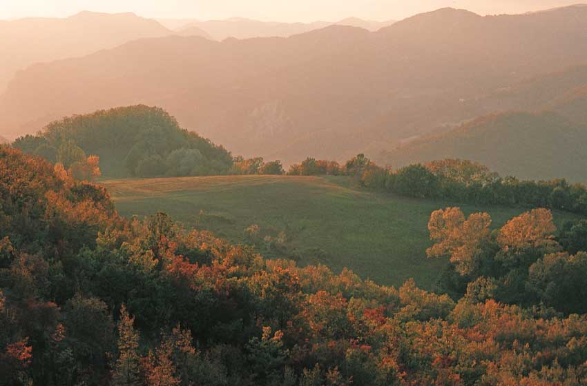

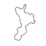
Even today, many Italians perhaps wouldn't even know how to indicate it on a map. Others quote it only to make fun of the speech of some political or small screen character. Yet Molise is easy to reach from any part of Italy and is a region full of surprises, with much to offer in terms of history and monuments, traditional festivals, nature, typical products. But not only that, Molise is also excellent for organizing trekking and following paths on foot or by mountain bike in the warm months and with snowshoes in winter, from the rugged Apennine ridges of the Mainarde and Matese up to the woods ofUpper Molise and to the plateau of Frosolone.
Let's see these then 8 trekking routes which can be alternated with camper driving and savor all the flavor of this small, underrated region.
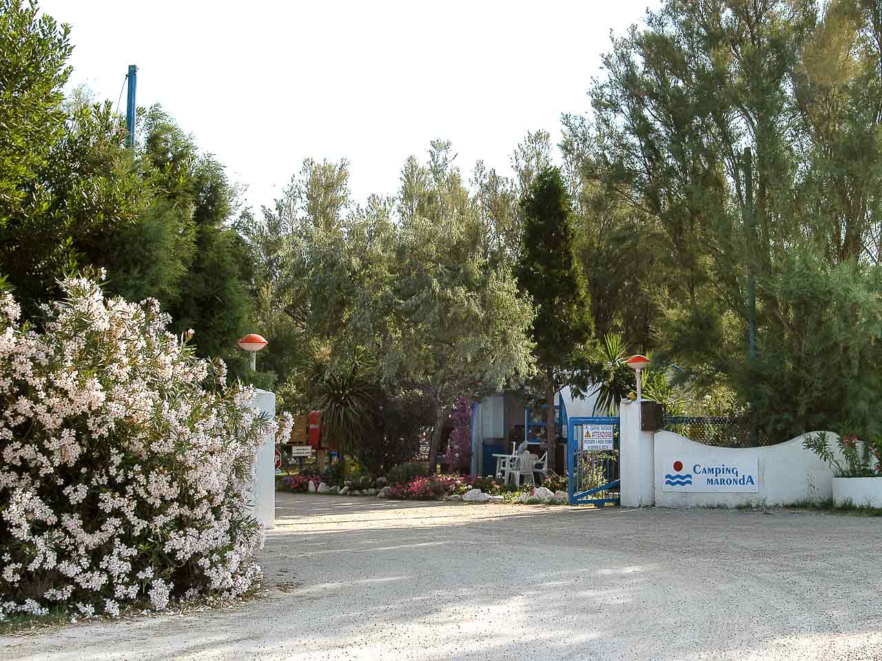
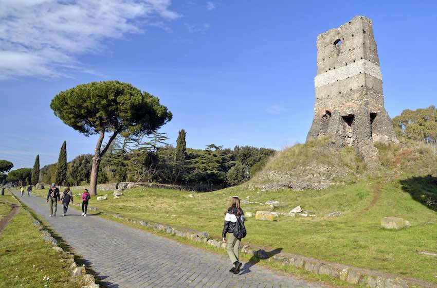
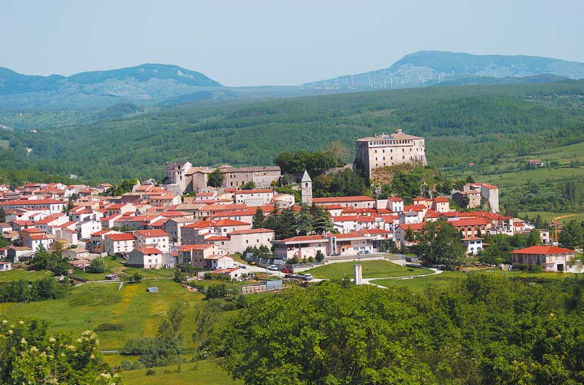
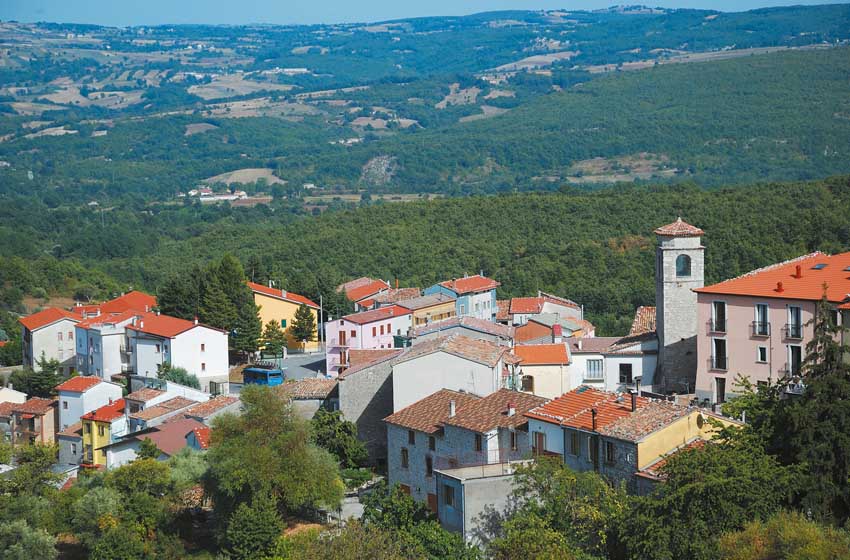
Discover the most beautiful villages in Molise to visit by camper
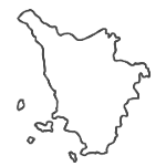
The Mainardes
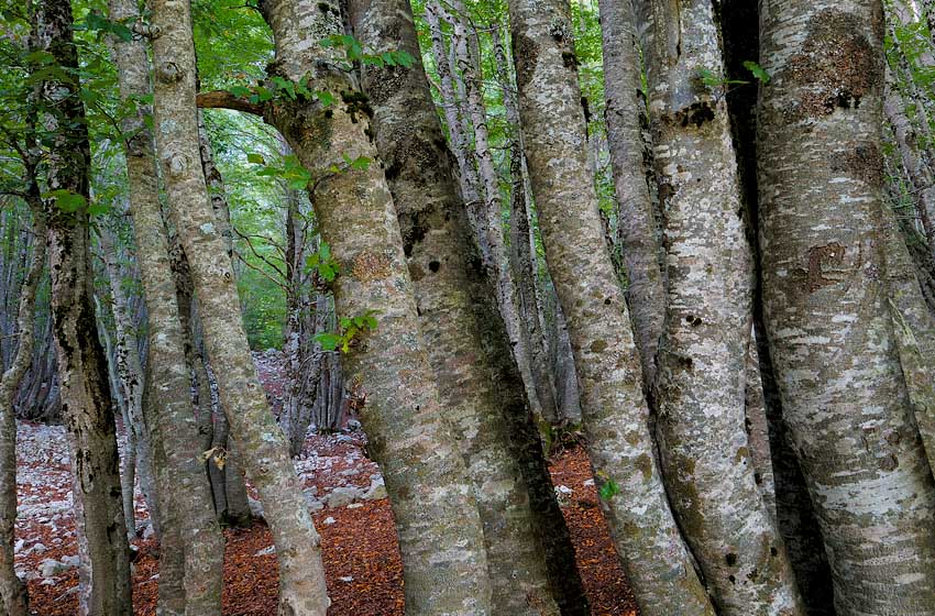
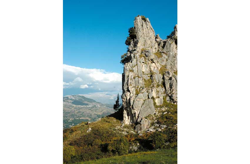
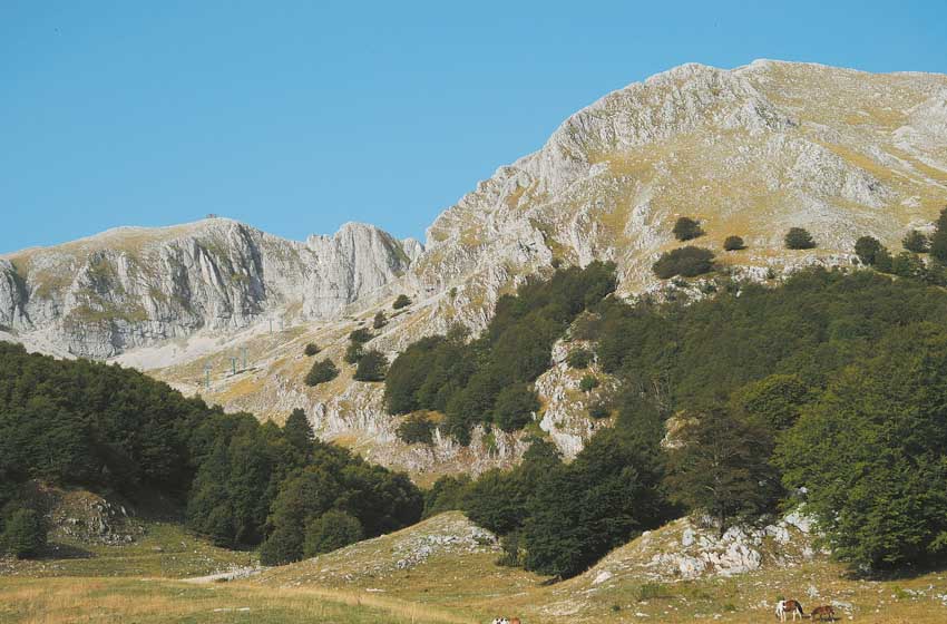
The highest mountains in Molise rise on the border with Lazio and Abruzzo. La Metuccia, Monte a Mare (the highest in the region with its 2.164 metres), the Cap of the Priest and the nearby peaks, mostly grassy on the Lazio side, descend onto the Molise side with rocky walls and wild gullies. It is an area of great charm, which falls within the National Park of Abruzzo, Lazio and Molise but which regular hikers know much less about Rose Valleyand Val Fondillo and Val Canneto. At the foot of the mountains is the abbey of San Vincenzo a Volturno, flanked by an archaeological area and the crypt of Abbot Epifanio, with frescoes painted around 830.
The most popular path begins at 1.400 meters above sea level Plane of Forms, which can be reached from Pizzone via a winding road but in good condition, unlike the bumpy one that goes up from Alfedena. The path, indicated with the M1 trail sign, enters the beech forest of the Pagana Valley, emerges at the foot of the Meta rocks and rises to 1.967 meters of Passo dei Monci, on the border between Lazio and Molise. From the pass, which can be reached in an hour and a half, you can go up to the right to the 2.242 meters of Meta, an extraordinary viewpoint.
The symbol of the area is the so-called Mainarde road, which was supposed to cross these mountains and which some Touring maps still indicate as "under construction", but which in reality has been blocked by the park for decades. It is worth following it from Castel San Vincenzo, with a long and panoramic ramp, up to a basin from which various paths in the woods begin. While the climb to the Mainarde ridge is very long (3 hours), the route towards the Casone del Medico is accessible to everyone.
More beech trees, rocks and panoramas are the ingredients of the itinerary that starts from Castelnuovo in Volturno (follow the signs for Monte Marrone, on the left before the centre), crosses a valley and climbs with some bumpy stretches towards the monument in memory of the fighters of the Italian Volunteer Corps of Freedom, who fought here in 1944 against the German troops.
From the car park and the nearby picnic area, a dirt road to follow on foot or by mountain bike (pay close attention to the steep sections) allows you to get to the foot of Monte Marrone. In an hour or so you reach a large cross and a spring much appreciated by the locals; the continuation towards Monte Mare or Marrone is reserved for trained hikers. An unmarked path leads to the stone hut used in the 50s by the painter-hermit Charles Moulin.
The fir trees between Abruzzo and Molise
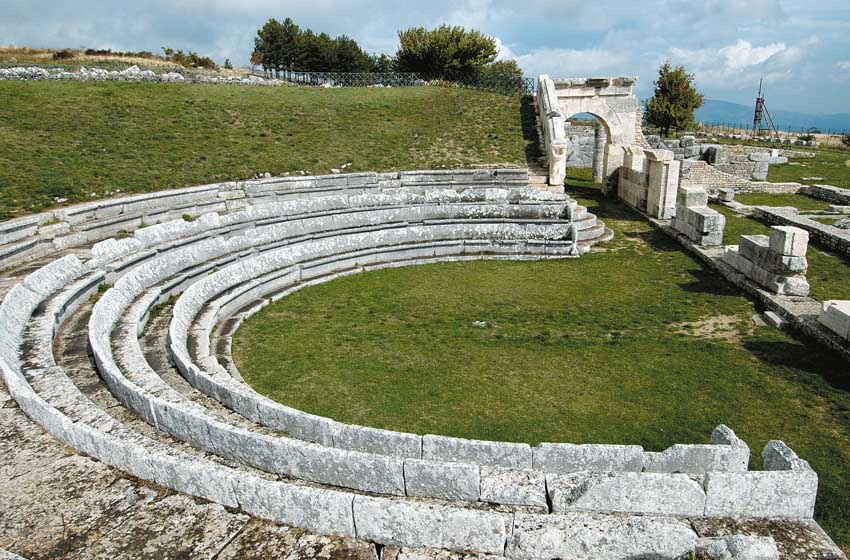
Opposite, in Abruzzo, you can see the wild valleys of the Majella. To the south-east of the Sangro, in the province of Isernia, some of the most evocative forests of the Apennines stretch out, of great botanical interest due to the presence of silver fir. The historic centers of Pescopennataro, Capracotta and above all Agnone, the small "Athens of Sannio" rich in monuments and churches, make the visit even more stimulating, and another nice surprise, in Pietrabbondante, is offered by the Italian archaeological area and then Roman, with temples and a famous theatre.
A marked trail offering splendid views begins about a kilometer away capracotta, towards Pescopennataro, and leads (one hour round trip) to the 1.721 meters of Mount Campo. Following the tracks of the cross-country trails you can go for short walks in the Soprani Fir Forest where, next to the road, stands the hermitage of San Luca.
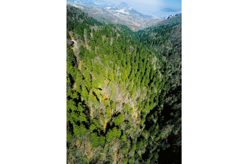
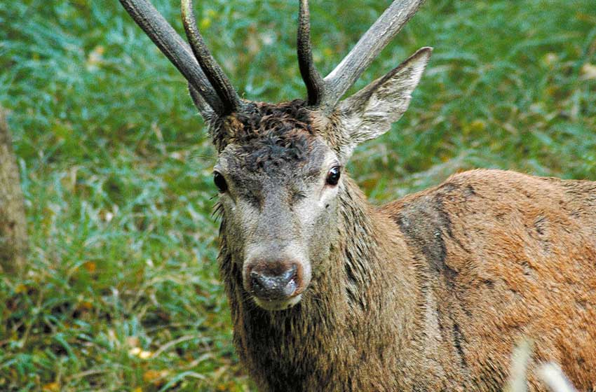
The best-known forest in the area, theRosello fir tree, managed in collaboration with the WWF, extends mostly across Abruzzo, but is flanked by the border between the provinces of L'Aquila and Isernia. While the nature trail (one hour round trip) falls entirely in Abruzzo, the marked hiking route extends for a stretch in Molise. Further south, entirely in Molise territory, the paths of the forest wind their way Colle Meluccio, an almost pure fir forest full of centuries-old trees, entrusted for decades to the State Forestry Corps and equipped with picnic areas and marked paths. Other routes wind through the reserve Middle Mountain, between San Pietro Avellana and Vastogirardi, where there is also a path accessible to disabled people and some enclosures in which to easily observe deer and roe deer.
Pescolanciano and the sheep track
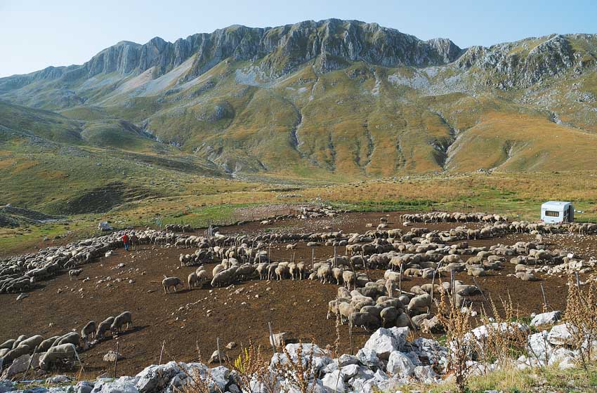
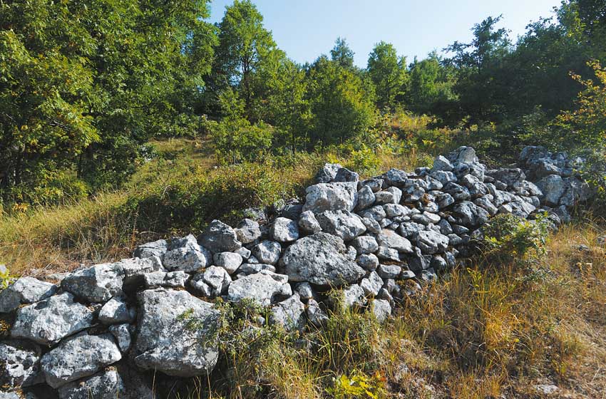
The great routes of transhumance followed from ancient times to the early 900s (but there is still someone who travels them today) remain clearly visible in Molise. Easy to identify on IGM maps or aerial photos, they suddenly appear next to roads, often still recognizable despite the presence of vegetation or modern buildings, despite the project, put forward several times by the Region and environmentalist associations, having ended in nothing, of the aforementioned Tratturi Park.
One of the most evocative parts of this "highway of the flocks" starts from Pescolanciano, a few kilometers east of Isernia, which can be reached with a short detour from the Trignina state road. From the historic centre, guarded by the medieval castle, you cross the town and find yourself at the beginning of the sheep track, near the La Pineta bar-restaurant. On foot, follow the grassy path, to the right of which there are some villas.
A sign indicates the start of a path dedicated to the Samnite fortified walls: you walk along a dirt road indicated by red-white trail signs and, before reaching a large pass (neglecting the signs, which are lost beyond the hill), you turn left along a fairly clear path that enters an intricate oak forest, climbs past some fences and reaches the hill of Vignali, where you can easily distinguish the double walls of a fortress built in the time of the Samnites to keep the sheep track under control, the remains of a tower and a small church dedicated to the Madonna. The return trip takes an hour; Cleaning of the path is urgently needed before it becomes difficult to walk.
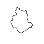
The Frosolone plateau
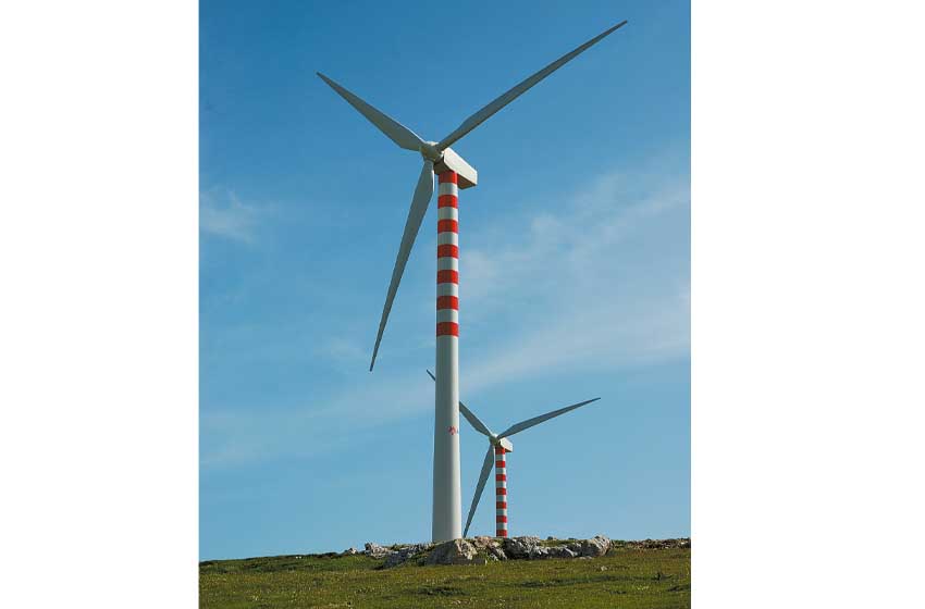
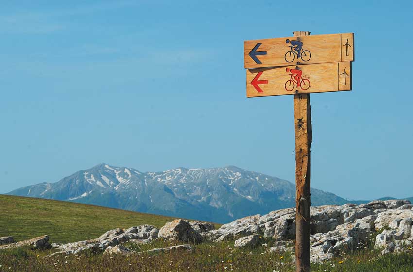
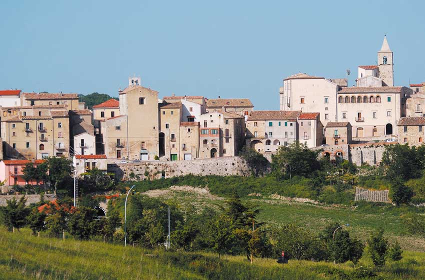
Halfway between Isernia and Campobasso, the town of Frosolone It owes its fame to the production of blades and knives, to which a small museum is dedicated. To the west of the town rises the Frosolone mountain, an undulating limestone plateau interrupted by rocky walls and lakes, here and there covered by dense beech forests. An excellent destination for all seasons, this miniature massif offers many opportunities to spot birds of prey and allows winter walks with snowshoes or cross-country skis; in summer, sport climbing is practiced on the walls of Morgia Quadra. Even on the plateau there is a network of marked paths, announced by signs; only a part of these itineraries is actually equipped with trail signs, but the open terrain allows you to move almost everywhere without difficulty. An unusual itinerary allows you to cross the ridge on foot or by bike where the Acqua Spruzza wind farm stands.
From Frosolone follow the road that climbs up the mountain in the direction of Sessano del Molise reaching the small church of Sant'Egidio, an excellent starting point for exploring the area. Here the road splits, offering two interesting opportunities. Next to the path on the right, shortly after the chapel, a panel indicates the beginning of the path that goes up to the walls of the Morgia Quadra, to be walked along the base and then also from above on a panoramic grassy ridge, walking for an hour to an hour and a half between the return journey.
If instead you follow the road on the left, in a few kilometers you will arrive at the rest area Bear Hill (for a fee in summer) with vast spaces for picnics. Towards the middle of the road that reaches the site from Sant'Egidio, the dirt road that goes up to the wind farm branches off on the left: you can follow it on foot or even by bike - only the first ramps are steep - until you come out on the ridge, which offers a nice view of the Matese, continuing further left with ups and downs at the foot of the wind turbines, on a route indicated by signs. To the right you can instead continue on the wide and very evident ridge, however without any trail signs, up to the same area of Colle dell'Orso.
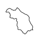
The peaks of Matese
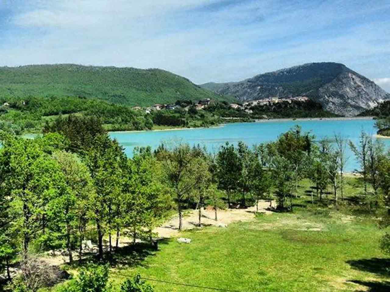
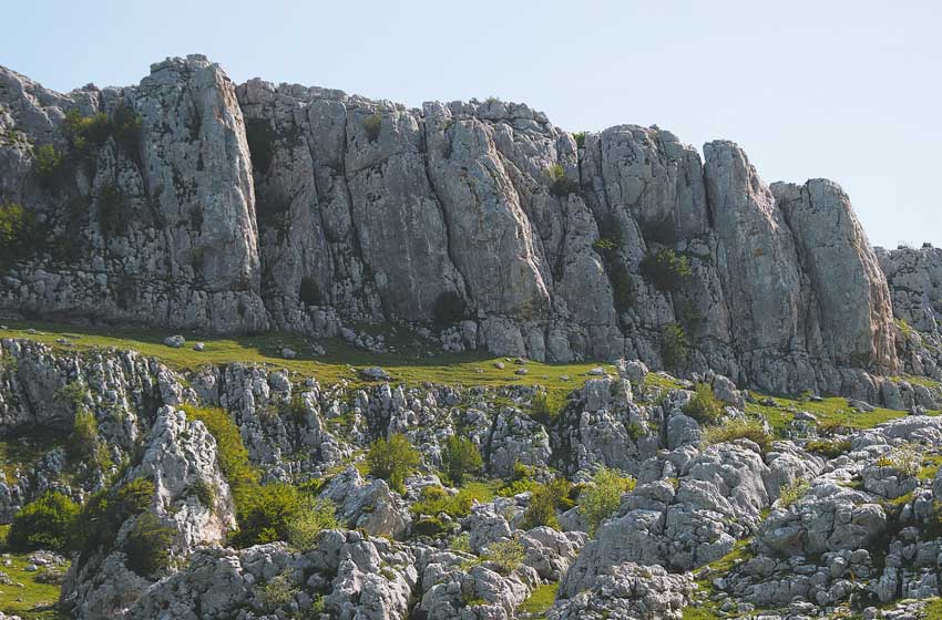
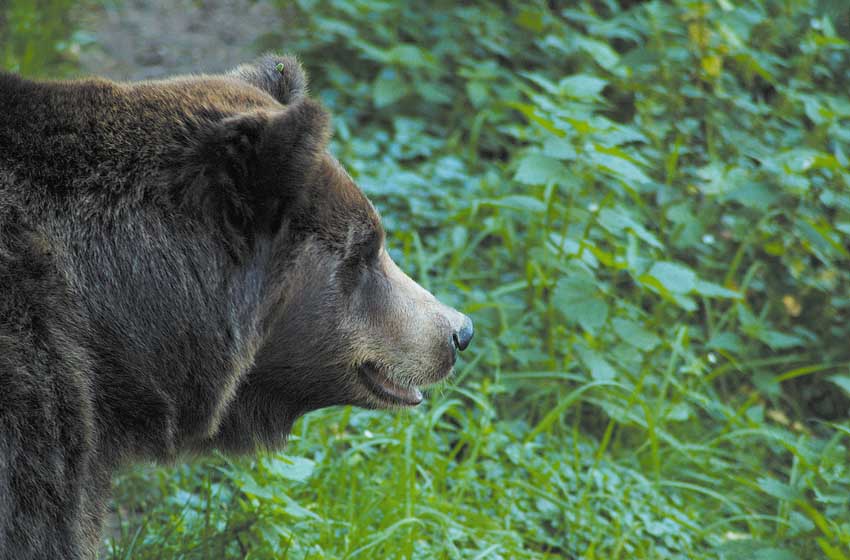
One of the most rugged ridges of the Apennines marks the border between Molise and Campania. Steep to the south, where it falls with stony slopes towards the Matese Lake, the highest ridge of the massif culminates in the 2.050 meters of Miletto, flanked to the north-west by Colle Tamburo, 1.980 metres, and to the south-east by Gallinola, a solitary peak which reaches an altitude of 1.923. Many know these peaks in winter, when their snow-covered gullies form the backdrop to the slopes of Campitello Matese; while the chairlifts and skiers stop a few hundred meters below, the mountaineers equipped with ice axes and crampons reach the large cross at the top, as do the groups of skier-mountaineers. For a few years now, roped parties from Abruzzo have opened some challenging winter climbing routes on ice-encrusted rocks.
But the Mount Miletto, like the nearby peaks, is worth a visit even in summer. In summer, from the ridges and peaks, the mist normally prevents the gaze from reaching the Campania plain and the Gargano. To the north, however, the mountains of the Abruzzo park and the Majella appear, while to the south, beyond the Sannio heights, Vesuvius can be seen. Many hikers set off from Campitello Matese, using the path marked by the CAI (but the trail signs are old and faded) which starts from the lift area, or by climbing along the slopes until the arrival of the last chairlift. A steep climb to the right leads to the ridge and the summit. Uphill it takes an hour and a half, downhill it takes an hour.
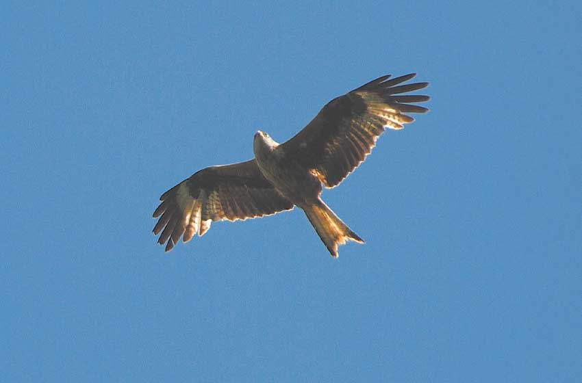
It offers an alternative in a more intact environment Gallinola, which can be reached from Campitello following the road to Sella del Perrone and Bocca della Selva. After a couple of kilometres, on the right, a sign indicates the start of the path that climbs towards the top. The first quarter of an hour, rather tiring, uses a steep path that goes up to the right of a fence; further on you reach a grassy terrace, continue halfway up the Campania side and then reach the ridge. The last stretch, on the crest, offers exceptional views. This route also requires an hour and a half uphill and an hour downhill. Around the summit, on both sides, it is easy to see kites and buzzards gliding.
For nature enthusiasts, however, the most interesting destination in the area is the Colle Tamburo, which can be reached from the picturesque Roccamandolfi by following the road to Longano and then turning left to the Guado La Melfa forest refuge and the Campitello di Rocca plateau. A partially marked but clear path leads to another plateau, the ridge and the summit. It takes two and a half hours from Campitello di Rocca, unless road conditions force you to park further down the valley, lengthening the route on foot.
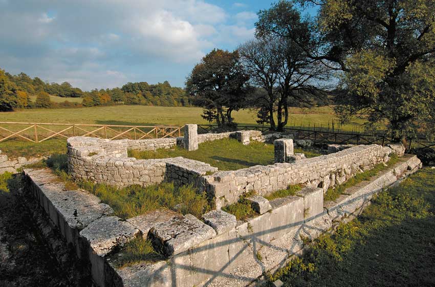
Sepino and the sheep track
The most beautiful ancient city of Molise rises at the foot of the forests and snows of Matese. Built after the Romans conquered the Samnite Saipins in 293 BC, Saepinum (later renamed Altilia by the Lombards) owed its importance to its position on a sheep track, as we have already seen in Pescolanciano. In the archaeological complex, the Ionian columns and capitals of the basilica, the forum, the theater - around which a stone hamlet was built in the 600th century - and the fortified gates of Terravecchia and Bojano stand out.
Today the traffic on state road 17, which is modest in this stretch, passes 200 meters from the ruins, but Sepino remains a highly fascinating destination for an easy excursion between history and landscape. A little more complicated, unfortunately, is identifying the marked paths, created a few years ago but now completely abandoned, which go up towards the mountain.
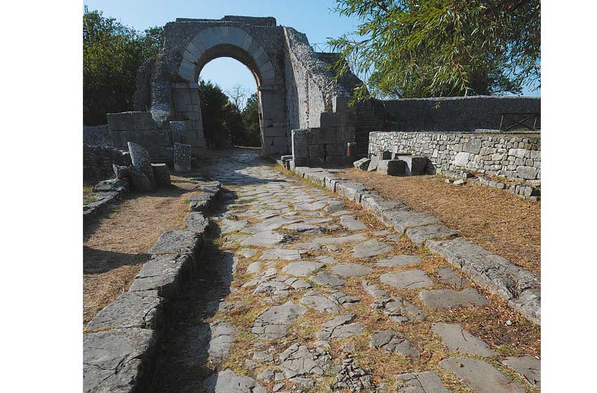
From the small town of Altilia, behind the visitor center (in reality it is a bar-restaurant), a route begins that goes up towards the mountain, crosses an asphalt road halfway up the hill and continues towards the village of Terravecchia and the barely visible remains of the Samnite Saipins; it takes an hour and a half to go up and just over an hour to go down. It is also possible (but not recommended with bulky vehicles) to take the asphalt road that starts from the modern Sepino and follow it up to where it intercepts the path, continuing on foot from here. Despite the presence of numerous signs, even the marked routes created at the foot of the Matese between Sepino, Campochiaro and Guardiaregia are difficult to follow.
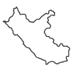
The Oasis of Guardiaregia and Campochiaro
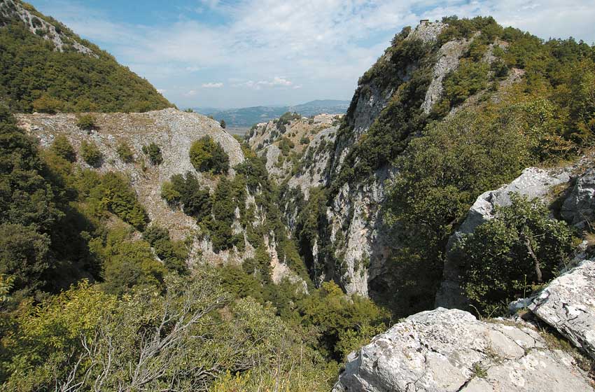
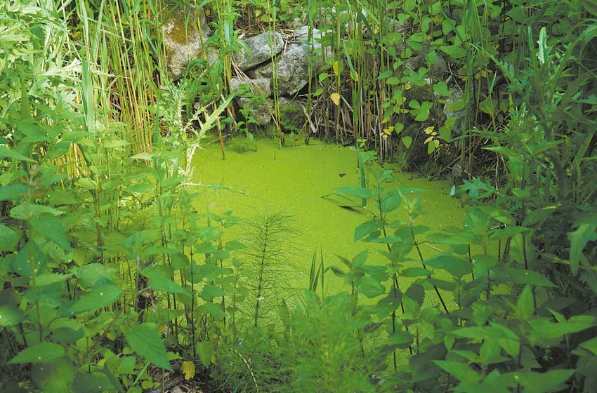
To the east of the highest peaks, the Matese massif changes face: instead of ridges of grass and stones, ridges covered with dense woods extend. Beyond the Sella del Perrone, suddenly, the spectacular rocky valley carved by the waters of the Quirino descends onto the Molise side. Here, thanks to a WWF initiative, theOasis of Guardiaregia and Campochiaro, spread over 2.187 hectares. More than an oasis, it is a real natural reserve, populated by birds of prey (lanaria, red kite, buzzard, peregrine falcon and the golden eagle which nests on the nearby Monte Mutria) and in which it is possible to observe wild orchids and butterflies or, again, discover the spectacled salamander, symbol of the Oasis, on the damp ground and in the pools.
The nature trail of the protected area, which starts from guardiaregia, offers a walk of an hour, which becomes longer if you take part in one of the excursions accompanied by Michele Marinelli, historic custodian of the site, or by the environmental guides of the La Ramegna cooperative. A hut on a hill allows you to admire the evolutions of the birds of prey without disturbing them, while a lookout overlooks the San Nicola waterfall, a hundred meters high. In Guardiaregia there is also a small visitor center.
Higher up, along the road that goes up from the town to the Sella del Perrone, the Three Friars Trail, which enters the woods at the foot of Mount Mutria touching various centuries-old beech trees, and the Cave Path which reaches the mouths of the Pozzo della Neve and the Cul di Bove abyss, two of the most beautiful and difficult caves in the Apennines. Guided tours take place all year round on Tuesdays, Thursdays, Saturdays and Sundays, the high paths are free of snow from May to the end of October. After the establishment of the Oasis, various accommodation facilities were created in Guardiaregia.
The Lipu Oasis and the hills of Casacalenda
Between Campobasso and the sea, the open and cultivated areas alternate with intricate oak forests and ravines carved out by rivers and streams. Here since 1994, thanks to the Municipality of Casacalenda and Lipu, the only protected area in hilly Molise has existed and operated. A couple of kilometers as the crow flies from the historic centre, the area occupies the Bosco Casale, a 105 hectare oak forest located at around 700 meters above sea level, and is populated by over one hundred and ten species of birds.
Among the birds of prey nesting in the Lipu Oasis of Casacalenda it is quite easy to spot the buzzard, the honey buzzard and the sparrowhawk; in spring these species are joined by the short-toed snake, the red kite and the lanner. In the woods you can discover the oriole, symbol of the protected area, the jay, the green woodpecker, the wren and the chiffchaff; at sunset nocturnal birds of prey such as the tawny owl, the long-eared owl and the barn owl begin to appear.
The short but pleasant nature trail that crosses the Oasis (it can be done in half an hour, but we recommend dedicating much more time to it) can be reached from Casacalenda following the abundant indications, first along the road to Bonefro and then along a secondary road that is accessible by any means of transport. The hiking route, flanked by educational panels, unravels in the thick of the forest, touching some lakes, ideal for observing amphibians, and a small building used as a visitor center and forest museum. Between spring and summer you can visit the Butterfly House, a small greenhouse dedicated to lepidopterans.
A longer itinerary (used for spring school trips) allows you to reach the Oasis on foot starting from the walled village of terravecchia, the most evocative part of the historic center of Casacalenda.
------
You can read all PleinAir itineraries on Molise in the digital magazine on your PC, tablet or smartphone. With a year of subscription to PLEINAIR (11 paper issues) you have the available special inserts, digital magazine e the digital archive since 2015 (with attachments).
With your PleinAir subscription you receive the next issues comfortably at home and savings!