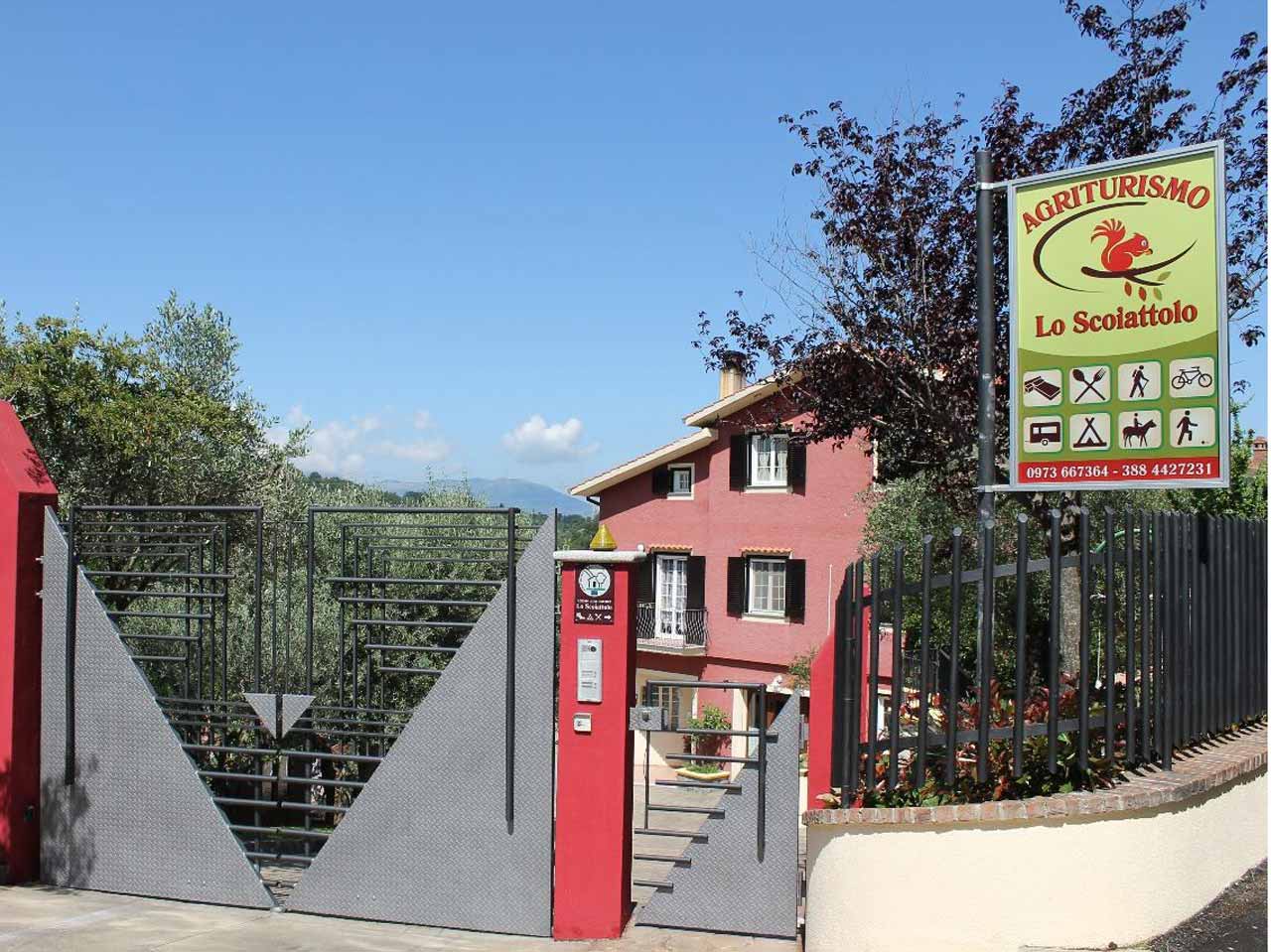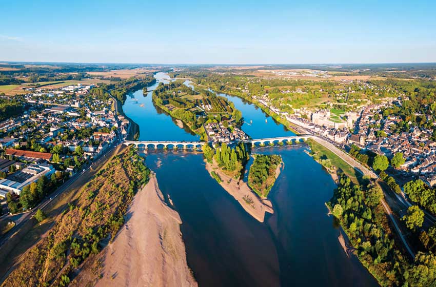

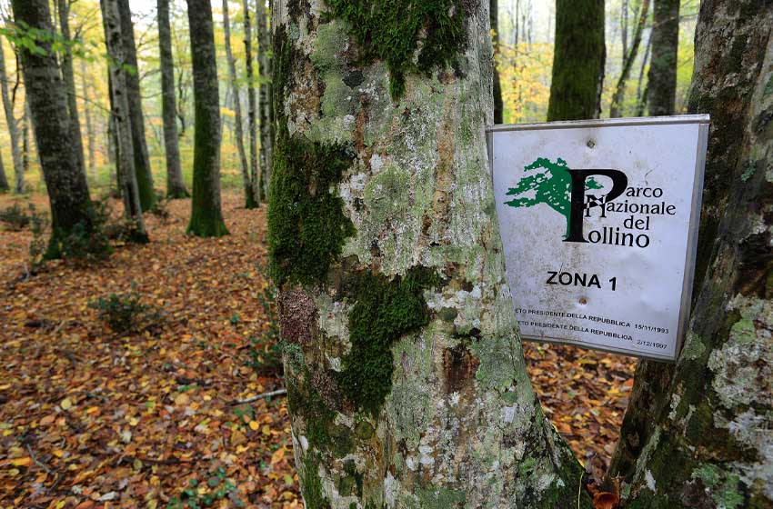
An enormous extension of territory between Basilicata and Calabria, hidden places, mountains with persuasive and terrible names: Serra del Prete, Timpa del Demonio, Cozzo del Pellegrino, Serra Dolcedorme. In autumn we returned to the largest protected area in Italy, the Pollino National Park, a green lung that is still not as well known as it deserves.
To fully experience it we suggest 5 walking excursions with different degrees of difficulty and duration of travel.
Bosco Magnano path
Difference in altitude: 120 meters • Travel time: between two and three hours
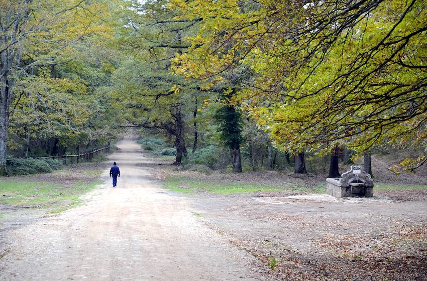
Among the most beautiful of the national park, the Bosco Magnano is located near San Severino Lucano just outside the hamlet of Copani. The most used access is on the provincial road, near the bridge: an open space on the side of the road immediately after the entrance to the woods, after the bend in the direction of San Severino, allows you to park the camper (immediately before, along the provincial road, there is it is the entrance to the Pollino Adventure Park, open on Sundays in autumn).

In the woods, leaving the vehicle, walk downhill towards the river along the clearly visible track that leads to the end of the bridge over the provincial road. Soon you reach a small waterfall that descends from a dam, then the track after a stretch along the bank becomes impassable. In fact, the path to follow to visit the forest is not this one, even if many limit themselves to photographing the waterfall: the right path should be taken by returning towards the car park and taking a barely visible and unmarked trail that starts to follow the Peschiera stream along the left bank. The route is splendid, now marked in white and red, and with modest ups and downs it crosses the forest of beech, oak and maple trees often just a few steps from the watercourse.

After just over an hour you arrive at a clearing where the path joins a forestry track. Going left you will quickly reach the town Three Little Houses, beyond which there are fences that house some deer; on the right, however, the track first climbs into the woods and then descends again, leading after a clearing with a play area to a crossroads (go right) and a restaurant, after which you return to the provincial road.
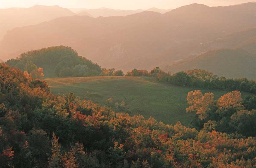
From Piano Ruggio to the Malvento Belvedere
Difference in altitude: 107 meters • Travel time: between one and a half and two hours
Pleasant and not tiring, the excursion is perfect especially for those who do not want to commit to the long walks that reach the heart of the massif and at the same time do not want to miss the spectacle of the loricated pines. We start from Piano Ruggio (1.533 m) where the recently restored Rifugio De Gasperi is located, a historic refreshment and support point located in the key area for access to the heart of Pollino. Going up from San Severino and Viggianello you come across the Piano di Visitone a few kilometers before, also with a refuge-restaurant. Between the two the road passes through the Impiso Hill, starting point for the paths that ascend to the large karst plateaus at the top of the massif and from here to the main peaks.
Da Ruggio plan, with your back to the refuge, starting from a fountain a trail marked in white and red goes up towards a second fountain and then cuts through the meadows until it enters the woods. The sign (n. 900) joins the track that runs through a small valley - the Vallone del Malvento - between two hills cloaked in beech trees. In less than three quarters of an hour, after some clearings, you arrive at the Belvedere of Malvento; real panoramic terrace on the precipices of the Mauro valley, from here the view opens onto the Calabrian side of the park with the wide Cascile valley and the town of Morano, the route of the A3 motorway, the reliefs and plateaus that encircle the massif.

On the left, clinging to the rock of the south-western buttresses of the Serra del Prete, many loricated pines can be admired but for those who want to get even closer it is necessary to retrace their steps to the last clearing encountered before the viewpoint. From here, some aligned stones mark the beginning of a track that climbs briefly into the woods and then reaches the ridge, behind the pines. To get to touch these centuries-old giants, all you need to do is descend further - with caution - along the stony slopes of the ridge, further down covered by thick Monk Forest. To go back, take the outward route.
From Colle dell'Impiso to Serretta della Porticella
Difference in altitude: 500 meters • Travel time: six to eight hours
You leave the camper at Impiso Hill, on the road between Viggianello and Rotonda, where the roadway widens slightly, allowing no more than a couple of vehicles to stop. You begin to climb beyond the barrier along a track that goes over the hill and after a bend begins to descend in the direction of the Vacquarro's plans. Once you reach the first of the two floors (1.450 m), leave a detour on the left which you will follow on the way back and follow it in the direction of Piano Gaudolino and Monte Pollino. High up on the horizon, the first loricates stand out against the sky of the still distant Serra delle Ciavole.
Spezzavummola Fountain
Just over an hour before departure we are at the Spezzavummola Fountain, signposted on the left of the path, and after a final climb to the wide path Gaudolino plan (1.705 m). Leaning against the edge of the beech forest, on the right, stands the bivouac of the same name: always open, equipped with a fireplace and cot, it can allow for an emergency stop or overnight stay if you are caught in sudden bad weather or darkness.

In front of the refuge, crossing the meadows again (the Gaudolino Fountain appears on the right), an arrow indicates a crossroads: on the right the path goes up to Mount Pollino, while our trail goes to the left in the direction of Piano Toscano. It is worth noting that the signs always refer to bridle paths (multi-day horseback riding routes) and never to the official park paths, as it would certainly be more useful. The route we are following, according to the cadastre of the protected area, would in fact be represented by tracks 920, 921 and 923 appropriately reported by the maps in greater detail, both paper and digital: it is a pity that there is no trace of this numbering on the land.
Pollino plain
Continuing in the woods, here with young beech trees, and climbing over a ridge we go down until we find the track that goes up from the Vacquarro's plans next to a large stone man. A little further on the forest opens up definitively into the large Tuscan Plan, where you can turn left and climb freely up the grassy slopes, which are sometimes steep, towards the now clearly visible crests. A rocky ledge known as the Balcony of loricated pines it is our destination and hosts the first, moving giant specimens of these beautiful conifers. The step represents the limit of the rear Pollino plain, which from here lies with grassy humps and depressions up to the watershed.

Higher still, to close the horizon, the Serra delle Ciavole and the Serretta della Porticella are aligned from south to north (separated by the wide saddle of the Grande Porta del Pollino) and, finally, the Serra di Crispo. Up here, at around 2.000 meters above sea level, we are about an hour and a half from the Gaudolino Plan. From the most easily reachable ridge, the Serretta della Porticella, the panorama is very wide and beyond the one below Fagosa Forest the view extends to the wilds Raganello Gorges, the Timpa Falconara, the Gulf of Sibari on the Ionian Sea, the large artificial lake of Monte Cotugno in the Sinni valley.
To return, you retrace your steps to Piano Toscano, where you enter the woods and find the little stone man at the crossroads between the path and the road: this time you choose the latter, following it without interruptions and the possibility of error up to the nearby one. Fontana di Rummo and then to Piano di Vacquarro, to resume the outward route. Follow the track to the right in a comfortable climb up to Colle dell'Impiso, where the camper awaits us.

Argentino torrent path
Difference in altitude: none • Travel time: two hours
Just behind the sea of Scalea, the town of orsomarso it is located in one of the wildest areas of the park. The rugged morphology of the territory makes these mountains, known as the Orsomarso mountains, largely almost unexplorable. At the entrance to the town, which is set in the center of an amphitheater of rocky walls, after the Carabinieri command, go down on the right towards the river following the signs for the Argentino Valley State Reserve. Next to the river bed, large spaces invite you to stop and park your camper here, continuing on foot along the road that runs along the valley floor for six kilometers up to a refuge.

The asphalt ends soon and you walk pleasantly between small vegetable gardens and the river, in an increasingly solitary environment. Beyond a clearing with a wooden house there is the reserve table and, a little further on, a fountain. From here on the stream, very rich in water, is all for us. Every now and then a wooden bridge crosses it, allowing you to reach the other bank (but it is better to continue on the orographic left).
Guaglianone Fountain
About three kilometers from the start you come across the beautiful educational arboretum created by the Forestry Corps - with numerous essences, all cataloged and with a plate bearing their name - which stretches along the banks of the Argentino. A little further on, the road (always mostly flat up to this point) passes over a small bridge on the opposite bank, but we continue straight ahead and slightly uphill following the signs for the Guaglianone Fountain, which is located a little further on beyond some small walls covered in moss and maidenhair where water drips from the slopes above.
Another quarter of an hour's walk and you reach the Ficara waterfall, with a single narrow drop that descends from a smooth wall carved by the water. From here you can continue towards the medicinal plant garden, or retrace your steps.

The Devil's Bridge in Civita
Difference in altitude: 190 meters • Travel time: one hour
Seat of one of the historic Albanian communities of Italy (arbëreshë), Civita it can be easily reached from the Frascineto motorway exit. One of the prettiest towns in the park - it stands in an extraordinary position, with the houses and the small rounded square dominated by the vertical reddish wall of the Timpa of the Demon (or State Property), 800 meters high.
And from the village several viewpoints ensure stupendous views of the Gorges of Raganello, which with a length of thirteen kilometers – from the Lamia source to Civita – constitute an exciting area for canyoning enthusiasts. Wanting to take a close look at the walls and the watercourse that flows between them, the only possibility is to descend to the Devil's Bridge up a steep stone-paved ramp. Collapsed during a spring storm in 1998, in 2005 the bridge was rebuilt in its ancient humpback structure and only by looking out from here can you admire (about forty meters above sea level) the narrowness of the two rock walls, which they seem to touch each other.

The ascent is naturally very difficult - although it is possible to take advantage of an off-road shuttle service offered by a local cooperative, with on-site signs - and as you slowly gain altitude you can stop to catch your breath while observing the sky above the gorge. In fact, it often happens that the rocky walls are flown over by the large griffon vultures that the park reintroduced years ago and which today live in a small colony: a further reason for attraction for one of the most fascinating places in the large protected area.
-------------------------
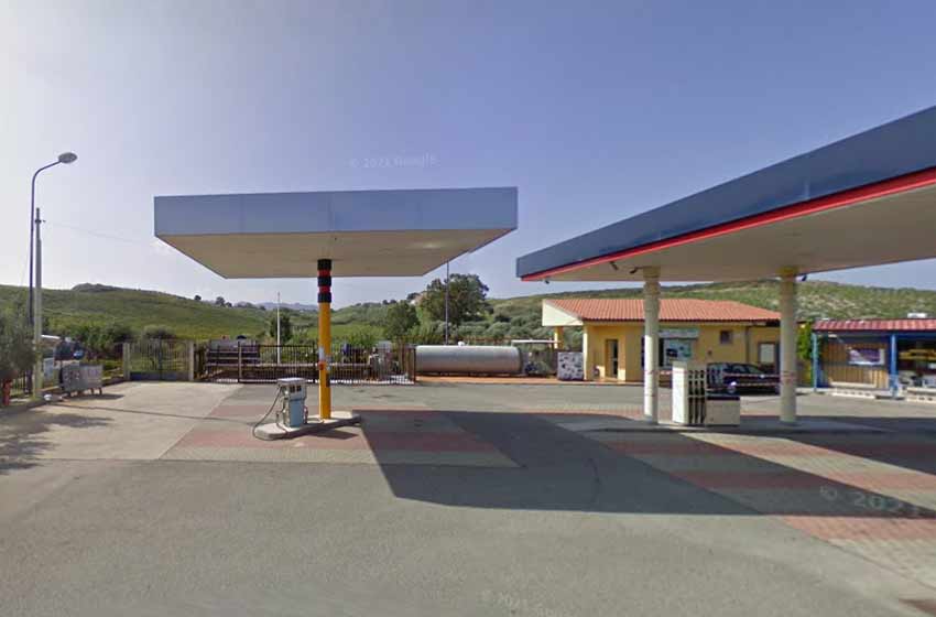
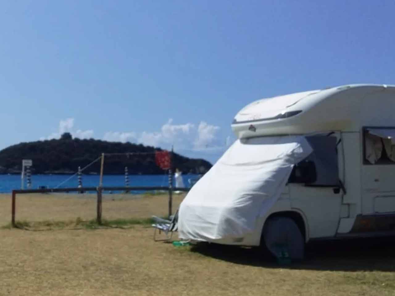
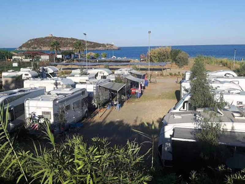
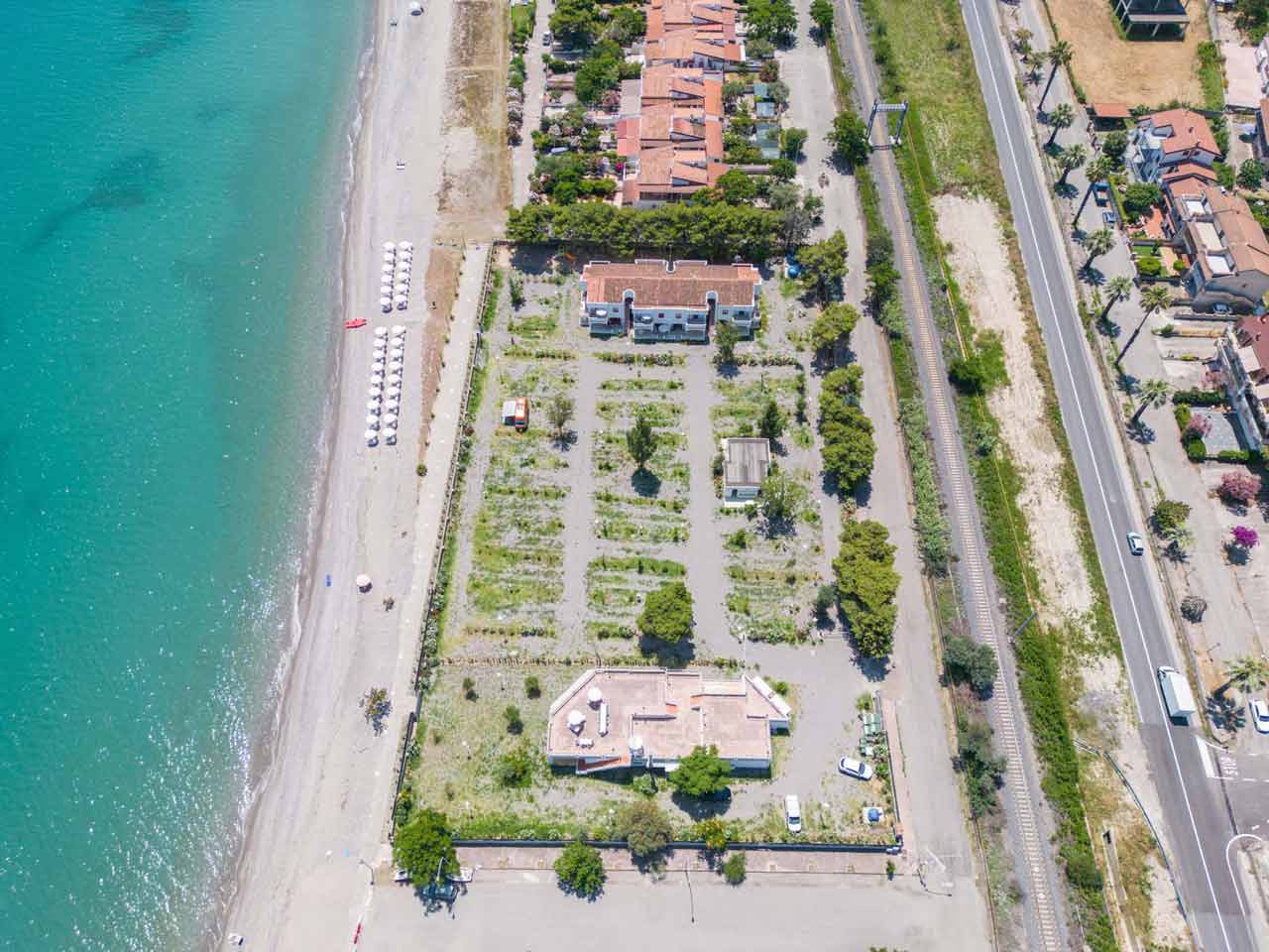
Did you like the itinerary? Thu you will find all the rest areas in the province of Cosenza. And if you like trekking, consider our itinerary for Sila National Park.
You can read all PleinAir itineraries in Calabria and Basilicata in the digital magazine on your PC, tablet or smartphone. With a year of subscription to PLEINAIR (11 paper issues) you have the available special inserts, digital magazine e the digital archive since 2015 (with attachments).
With your PleinAir subscription you receive the next issues comfortably at home and savings!